 Photo: Original uploader was Akra · CC BY-SA 2.5
Saaremaa & Muhu Island Road Trip
Carry the car from Virtsu to Muhu and Saaremaa for Kuressaare, Kaali, Sõrve and the north-coast cliffs over four or five days.
- Allow
- 4–5 days
- Route
- 606 km
- Drive time
- 9 hr 55 min
- Stops
- 7
The island journey begins on the ferry rather than the highway. Muhu’s stone walls and Koguva village slow the first day; Saaremaa then expands through Kaali’s meteorite story, Kuressaare’s castle town, Sõrve’s long southern reach and Panga’s exposed northern cliff.
Ferries set the rhythm. Reserve a vehicle place on busy summer sailings, arrive for the operator’s stated check-in and keep the route flexible in strong wind. The islands are large enough that one Kuressaare base cannot make every headland feel close.
The road, in one glance
Pinch or scroll with Ctrl / ⌘ to zoom
Drawing the route…
The route earns
its distance
Each pin is selected as a place to do something—not merely proof that you passed through.
 Photo: Jorge Franganillo · CC BY 2.0
Tallinn
Leave the capital after breakfast with a booked ferry slot rather than a hopeful arrival.
Tallinn is the capital and most populous city of Estonia. Located on a bay in northern Estonia, on the shore of the Gulf of Finland of the Baltic Sea, it has a population of 452,563 as of 2026 and administratively lies in Harju County. As of 2024, the population of the Tallinn metropolitan area is estimated at 646,315.
 Photo: Avjoska · CC BY 3.0
Virtsu Ferry Port
The mainland road ends at the short vehicle ferry to Kuivastu on Muhu.
Virtsu (German: Werder) is a small borough (alevik) in Lääneranna Parish, Pärnu County, Estonia. It lies on the western coast of continental Estonia, and is a location of the main port for traffic to and from Saaremaa, the largest island of Estonia. The Virtsu ferry goes to Kuivastu, which is located on the island of Muhu, which is in turn connected to Saaremaa by the largest causeway in Estonia, the Väinatamm.
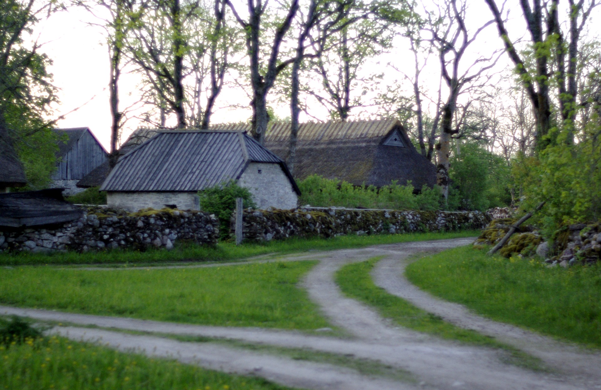 Photo: Madis Veskimeister · CC BY-SA 3.0
Koguva, Muhu
Stone walls, thatched farm buildings and narrow lanes introduce Muhu at walking pace.
Koguva is a village on the Estonian Baltic Sea island of Muhu. Administratively, it belongs to Muhu Parish, Saare County. Koguva is located on the western tip of the island, and the small islet of Kõinastu is located just 2 km (1.2 mi) northwest in the Väinameri Sea.
 Photo: Mannobult · CC BY-SA 3.0
Kaali Crater
A meteorite crater and small museum add geological drama to Saaremaa’s interior.
Kaali is a group of nine meteorite craters in the village of Kaali on the Estonian island of Saaremaa. Most recent estimates put its formation shortly after 1530–1450 BC (3237 ± 10 14C yr BP). It was created by an impact event and is one of the few impact events that has occurred in a populated area (others are Henbury craters in Australia and Carancas crater in Peru).
 Photo: Hiiumaamudeliklubi · CC BY-SA 4.0
Kuressaare
A walkable spa town and intact episcopal castle make the island’s natural base.
Kuressaare is a city on the island Saaremaa in Estonia. It is the administrative centre of Saaremaa Municipality and the seat of Saare County. Kuressaare is the westernmost town in Estonia.
Photo: Original uploader was Akra · CC BY-SA 2.5Sõrve Lighthouse
Saaremaa narrows toward a lighthouse and shingle spit facing the Irbe Strait.
Sõrve Lighthouse (Estonian: Sõrve tuletorn) is a lighthouse located in Saaremaa Parish, on the island of Saaremaa, in Estonia. The current lighthouse is a cylindrical concrete tower, which was built to replace a temporary wooden structure lighthouse that served as a signal point between 1945 and 1960.
 Photo: Blizzard1 · CC BY-SA 3.0
Panga Cliff
The island’s north coast rises abruptly above the Baltic in a final elemental stop.
Panga Cliff (Estonian: Panga pank; also Mustjala Cliff, Mustjala pank) is a coastal cliff located on the northern shore of Saaremaa, at the end of the road from Kuressaare to Võhma, close to the village of Panga. It is the highest of the Saaremaa and Muhu cliffs, reaching a height of 20 meters (66 ft). The entire cliff is approximately 2.5 kilometers (1.6 mi) long.
Drive the conditions,
not the itinerary.
Book the Virtsu–Kuivastu car ferry, check live sailing notices and never improvise on sea ice. Fuel before the remoter western and southern sections.
Checked against
the people who run it
Distances and driving times are planning estimates. Conditions, closures, ferries, permits and park rules can change, so check the linked official guidance before setting out.